In most of the country, families choose a house plan first and then go looking for land that fits it. In Western North Carolina, that order gets people into trouble. On mountain terrain the lot and the plan are a single design problem. The contours decide where the driveway can go, the driveway decides where the garage sits, the garage anchors the main level, and the slope below it decides whether you get a walkout basement or a wall of fill. Choose the plan and the lot together, and a hillside becomes the best feature of the house. Choose them separately, and you pay for the difference in retaining walls, regraded driveways, and change orders.
What Helene taught the region about slopes
Hurricane Helene turned slope behavior from an abstraction into a regional memory. Researchers studying the storm’s aftermath mapped 2,217 landslides triggered across the southern Appalachians and found that 55% of them damaged infrastructure or property, according to a U.S. Geological Survey study published in December 2025. The same team measured maximum cumulative rainfall of 848 millimeters, roughly 33 inches, across the back-to-back September 2024 storms, and found the slides concentrated along the Blue Ridge escarpment.
Two follow-on findings matter for anyone shopping for land now. In a preliminary field report from June 2025, USGS warned that renewed landslide activity could remain elevated in localized areas for months or years, including parts of Henderson County. And the North Carolina Geological Survey publishes a hazard viewer with mapped landslide starting points, outlines, and deposits. Its team had responded to more than 400 reported landslides across WNC by November 2025. The operative word in all of this is localized. Two lots on the same road can carry entirely different risk, which is why the site work below is worth doing on your specific parcel rather than trusting general impressions of a neighborhood.
Read the lot before you shop for plans
Three documents should exist before you fall in love with any drawing. A boundary and topographic survey shows the contours, and contours are the plan’s true client. A lot that drops eight feet across the building envelope wants a very different foundation than one that drops thirty. A soils evaluation tells you what the ground will accept, which matters doubly if the home will need a septic system. And on steeper parcels, or anywhere near mapped slide activity, a geotechnical review by a licensed engineer tells you how the slope itself behaves, where fill from old grading may be hiding, and what your foundation will actually bear on. Ordering these before plan finalization feels slow. It is dramatically faster than discovering the same problems during excavation.
Let the road approach pick the garage
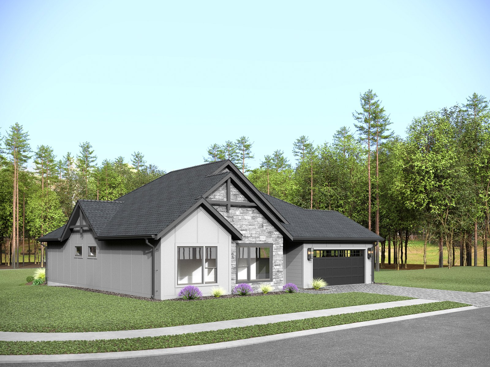
On a mountain lot the garage is not a detail, it is the hinge of the whole design. If the lot rises from the road, the garage usually wants to sit low on the street side, with living spaces stepping up behind it. If the lot falls away from the road, the garage stays at road grade on the entry level, and the house steps down the hill below. Fighting this logic means a steep driveway, and steep driveways in the mountains are not merely inconvenient. They are an ice problem in January, a delivery-truck problem all year, and a regrading expense that can rival the cost of a foundation. When you evaluate a stock plan, look at where it assumes the car arrives, then stand on your lot and check whether the land agrees.
Work with the hill, walkout levels and foundations
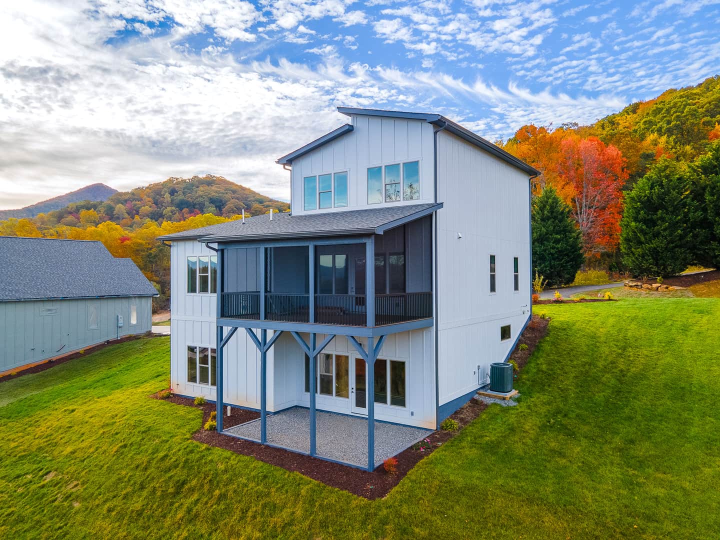
The happiest mountain houses treat the slope as found square footage. A walkout or daylight basement puts finished space, natural light, and often the best view on the downhill side, in a level that flat-lot builders would spend heavily to excavate. That is why walkout basement plans are the workhorse of mountain design. Structurally, expect stepped footings that follow the grade, taller foundation walls on the downhill side, and, on steeper sites, a foundation worth engineering specifically for the parcel. Be honest about a plan drawn for flat ground. It can sometimes be adapted with a new lower level, but the further the original assumptions sit from your contours, the more the adaptation costs and the more sense a purpose-built sloped-lot plan makes.
Retaining structures are a budget line, not an afterthought
Every cut into a hillside must be held up by something, and every vertical foot of wall is money. The way to keep retaining costs sane is to move less earth, which is also what local rules encourage. Henderson County’s subdivision regulations, for example, call for retaining existing vegetation and avoiding steep slopes to limit site disturbance and erosion. A plan whose footprint steps with the hill, narrower and taller rather than wide and flat, needs shorter walls and smaller cuts than a sprawling single level pushed into the slope. When comparing two plans for the same lot, sketch the cut and fill each one implies. The cheaper house to build is often the one that looks more ambitious on paper.
Drainage decides how the house ages
Water coming downhill will find your foundation unless the plan and the grading give it somewhere better to go. Federal building-science guidance from the U.S. Department of Energy calls for final grade to fall away from the foundation by at least half an inch per foot for the first 10 feet, and for swales or drains to do the job where setbacks make that slope impossible. On a hillside, treat that as the starting point rather than the finish line. The uphill side of the house typically needs an intercepting swale or drain, gutters need downspouts that discharge well away from the walls onto stable ground, and any retaining wall needs its own drainage so it does not become a dam. None of this is glamorous, and all of it is far cheaper on the grading plan than after the first wet winter.
Know the county’s slope rules before you close
Slope is not only an engineering question, it is a zoning one. Henderson County’s land development code, approved in June 2025, defines a steep slope as anything greater than 60%, and when such land makes up at least 10% of a tract, the code cuts the maximum residential density on that portion in half. Rules like these vary from county to county across Western North Carolina, and they directly affect what you can build and where on the parcel you can build it. A short conversation with the county planning office, survey in hand, belongs on the same checklist as the soils report.
The right order of operations
Pulled together, the sequence looks like this.
- Commission a boundary and topographic survey before or immediately after closing
- Order a soils evaluation, plus a geotechnical review on steeper ground or near mapped slide areas
- Check the state landslide viewer and your county’s slope and density rules for the parcel
- Shortlist plans whose foundation logic matches your contours, walkout designs for downhill lots and stepped plans for uphill ones
- Finalize the plan only after the site information is in, so the foundation, driveway, and drainage are designed for the land you actually own
Followed in that order, the process turns a difficult lot into an asset. Skipped, it turns a beautiful plan into a series of expensive surprises.
Big Hills has been building on Western North Carolina hillsides for years, and our plan library reflects it, with walkout basement designs and mountain home plans drawn for real WNC terrain rather than flat paper lots. Browse the collection at Big Hills House Plans and tell us about your lot. We are glad to talk through what the land will want before you commit to a drawing.